The weather in the Twin Cities will begin to shift on Wednesday as temperatures slowly climb, signaling a brief break from the recent chill. While the forecast high is expected to reach the upper 20s, the metro area won’t feel those temperatures until late in the evening.
It will be a cold start to the day, but the weather will gradually warm up, especially as clouds begin to increase throughout the afternoon. Though the temperature will be on the rise, it’s important to note that the morning will remain quite chilly, and those venturing out in the early hours should dress warmly.
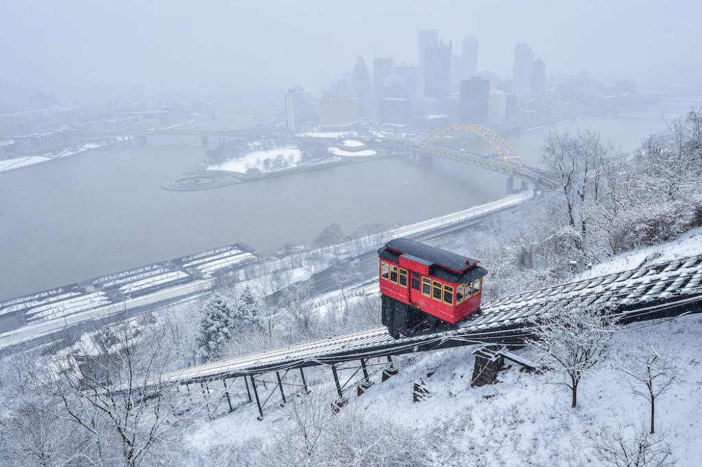
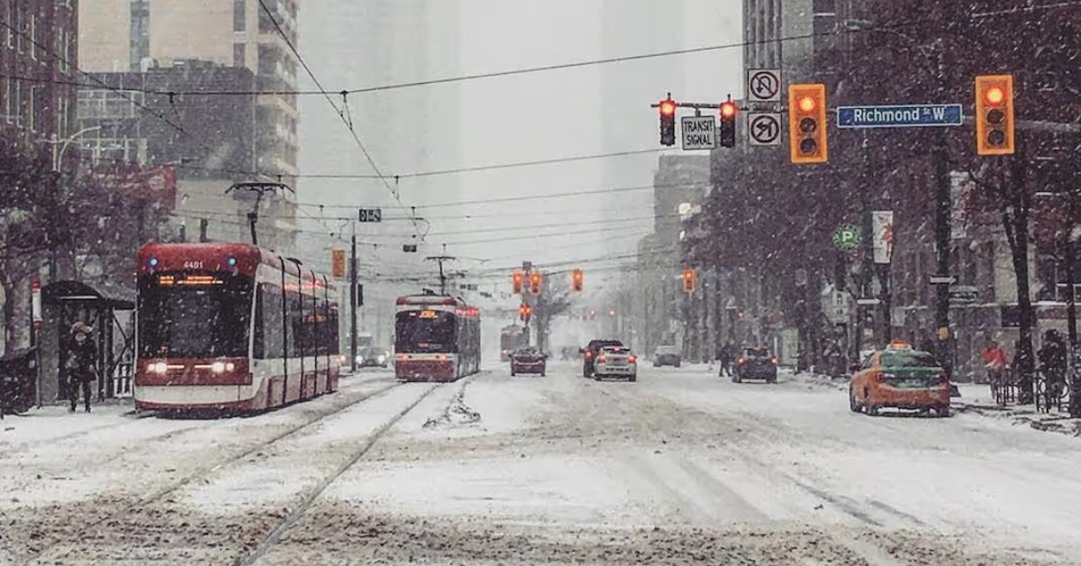
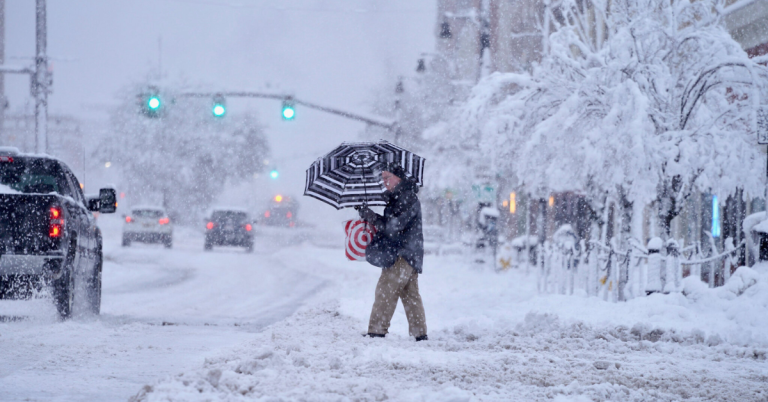
As the day unfolds, a round of light snow will move through the area, though it may turn into freezing drizzle at times. This weather system is expected to be relatively light, with only a dusting of snow in most places.
The snow is expected to spread across the Twin Cities area and extend to the north and east, but it won’t be a major snowstorm. While the snow might cause some minor disruptions, it won’t be enough to cause significant traffic issues. However, drivers should be cautious on the roads as there could be some slick spots, particularly during the early evening hours.

Western Wisconsin and the Arrowhead region are expected to see slightly more snowfall, although the total accumulation will still be minimal. In these areas, snow accumulation may not exceed half an inch, which is still a light amount but could cause some temporary travel challenges.
In the Twin Cities, the system will likely bring just a light dusting, which is not expected to affect daily activities significantly. It may be enough to make the streets look pretty but won’t create major disruptions.
One of the most notable changes during this transition period is the overnight temperatures. Instead of continuing to drop like we’ve seen in recent days, temperatures will actually rise as the night progresses.
This marks a welcome shift as the consistent cold snap finally begins to ease. The rise in temperatures will come gradually, and it’s expected to feel less bitterly cold as the night wears on, providing some relief after several days of frigid temperatures.
Looking ahead to Thursday and Friday, the weather will continue to remain relatively mild, with highs reaching the mid-30s. While this is a nice improvement over the earlier days of the week, it’s still a bit cooler than what we might expect during the heart of winter.
However, the milder conditions will make it feel more comfortable outside, especially compared to the recent days of cold and snow. If you’re planning to spend time outdoors, Thursday and Friday will be good days to do so, as temperatures will be warmer and the likelihood of additional snow or ice is low.
Unfortunately, the relief from the cold weather won’t last long. By the weekend, the harsh winter temperatures are expected to return. On Sunday, we could see the coldest air of the winter season so far, with highs expected to be near zero.
The extreme cold will continue into the overnight hours, and by Monday, temperatures will likely remain below zero throughout the day. This type of cold can be dangerous, especially for those who aren’t prepared for it, so it’s essential to dress in layers and take precautions if you plan to be outside.
The wind chill factor will make the cold feel even more intense, with gusty winds amplifying the biting chill. With the temperatures plunging to such lows, it’s critical to avoid prolonged exposure to the elements.
Wind chills could make it feel like it’s much colder than the actual temperature, potentially reaching dangerous levels. People are advised to stay indoors when possible and to limit the amount of time spent outside, especially during the night and early morning hours.
As we look further into next week, it’s expected that the cold weather will persist, but there is a possibility that temperatures will begin to warm up again by the middle of the week.
The extended forecast suggests that there may be a break in the frigid temperatures toward the end of next week, offering a brief respite before the next round of winter weather arrives. It’s still uncertain how long the warmer trend will last, but it’s something to keep in mind as we move through the winter season.
In the meantime, residents of the Twin Cities will need to prepare for a few more days of intense winter weather. The cold this weekend will be particularly harsh, and it’s essential to take the proper precautions. Keep an eye on local weather updates for the latest information, and be ready for rapidly changing conditions.
While the snow and ice may not be a major concern for most areas, the cold temperatures will certainly be the most significant factor over the weekend. Those who are planning to travel or spend time outdoors should be especially cautious, as exposure to such cold temperatures can lead to frostbite or hypothermia in a short amount of time.
The weather this week in the Twin Cities will bring a mix of conditions, from light snow and freezing drizzle on Wednesday to milder temperatures on Thursday and Friday. However, the real story will be the dramatic return of the cold temperatures this weekend, which could bring the coldest air of the winter so far. Highs near zero and sub-zero temperatures will make it feel especially bitter.
As always, it’s important to stay informed and be prepared for any changes in the weather. While the winter cold is certainly here to stay for now, there is hope for a warmer trend to come later in the week.
Disclaimer: This article has been meticulously fact-checked by our team to ensure accuracy and uphold transparency. We strive to deliver trustworthy and dependable content to our readers.


Leave a Comment